QUÉBEC · PLANTING RESEARCH
The right tree starts
with the site.
Pick a location. Compare a species’ needs with the evidence.
ROUYN-NORANDA PILOT16 species · explainable rulesLoading rules…
01 / Pick a planting coordinate
DRONE IMAGE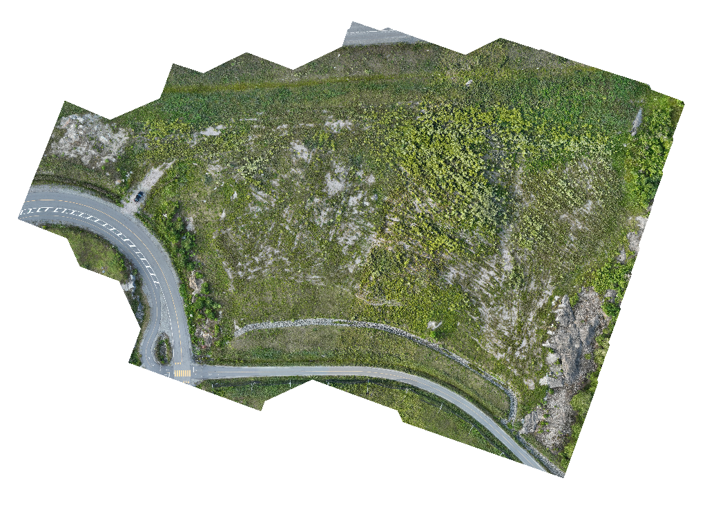 Image backdrop · no inferred soil values
WGS84 · Click the image or enter a coordinate.
Loading demo…
Public data and resolution
Public layers describe larger areas. A wetness class is not a soil-moisture measurement. Live pointer and clicked coordinates use the GeoTIFF affine transform and CRS.
03 / Regional climate & soil observations
OPEN CANADASoil landscape at this coordinate
Nearby field soil profiles
These are observations at other locations. Their pH and drainage are not assigned to your selected coordinate.
Downloaded datasets & licences
04 / Add field evidence or explore a scenario
THIS COORDINATE ONLYUnedited fields use available public evidence. Clearing an edited field marks it unknown. Entries are assumptions until verified in the field; changing coordinate clears them.
SPECIES RECIPE
Read species ecology ↗